About Colleton County
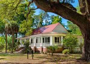
The region that is now known as Colleton County was originally inhabited by the Cusabo Indians. With the arrival of European settlers in the 1670s, the area saw an influx of rice planters in the early 18th century. The county is home to several historic antebellum plantations. During the American Revolution, the state legislature of South Carolina convened in Jacksonboro. Colleton County was established in 1785 and named for Sir John Colleton, one of the original proprietors of the Carolina colony. In 1828, the county seat of Walterboro was the site of the first nullification meeting in South Carolina, where the powers of the state and federal governments were being debated.
The economy of Colleton County is primarily driven by logging and the production of wood products, clothing, and textiles. Agriculture, including cattle raising, hog farming, corn and soybean cultivation, also plays a significant role. The total area of the county is 1,056 square miles (2,736 square km), with a population of 38,259 people in 2000 and 38,892 in 2010.
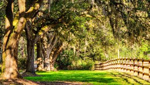
Colleton County is located in southern South Carolina, U.S. The county is surrounded by several rivers including the Salkehatchie River, Edisto River, and its branches. The county's southern end is located on the Atlantic coast and includes Edisto Beach State Park. The county is characterized by its marshy coastal region, which includes part of the Sea Islands, and its northern regions which are mostly swampy with oak and cypress forests. The topography of the county rises gradually from north to south.
.jpg)
.jpg)